Alexandria, Virginia · Est. 2006
Bridging analytical gaps.
Intelligence analysis, supply chain risk and technical expertise for government and industry.
Explore our capabilitiesFrom systems to components
Every detail. A wider context.
Understanding a supply chain means looking beyond the finished product. We examine organizations, components and the relationships between them.
- Ownership
- Components
- Relationships
Better questions. Stronger perspective.
Start a conversationBingham Canyon, Utah · USGS 3DEP elevation + USDA NAIP imagery · true scale, flown live
- Ownership
- Analyst-owned and led
- Status
- SBA-certified SDVOSB
- UEI · CAGE
- LK5CFHLMKLK1 · 4CDF0
- Since
- 16 March 2006
01 — Overview
The value is in the connections.
We investigate the organizations, suppliers and relationships behind your questions. Our assessments explain what the evidence shows and what it means for your decision.
Analyst-owned and led, IAI brings together analysis, technical expertise and program support for government and commercial organizations.
About IAI
The Chesapeake Bay Bridge at Sandy Point, Maryland
39.005° N, 76.405° W · USDA NAIP / USGS The National Map · public domain
02 — From systems to components
From the ground to the decision.
Understanding a supply chain means looking beyond the finished product. We examine organizations, components and the relationships between them.
Explore supply chain risk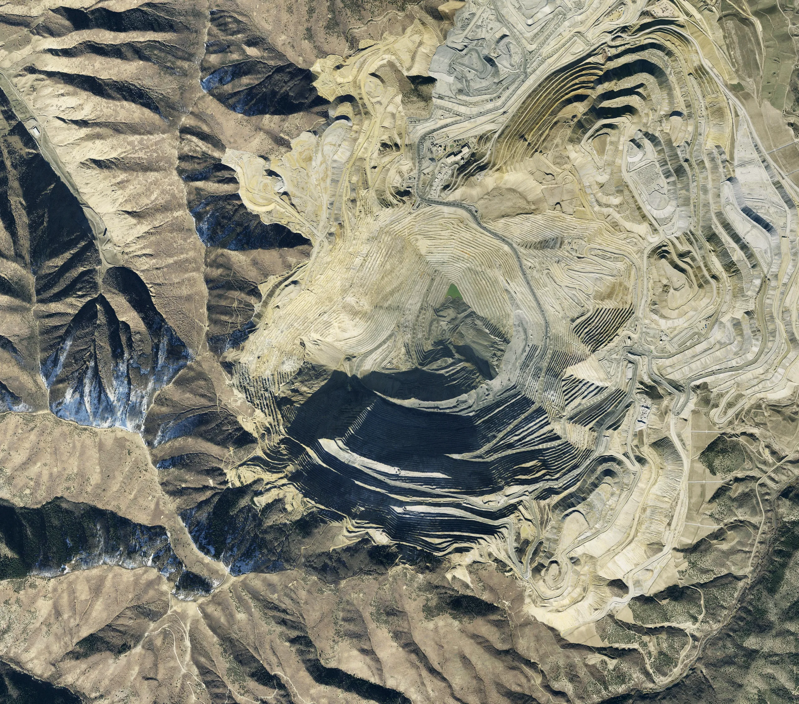
Bingham Canyon open-pit copper mine, Utah — where a supply chain begins
40.522° N, 112.155° W · USDA NAIP / USGS The National Map · public domain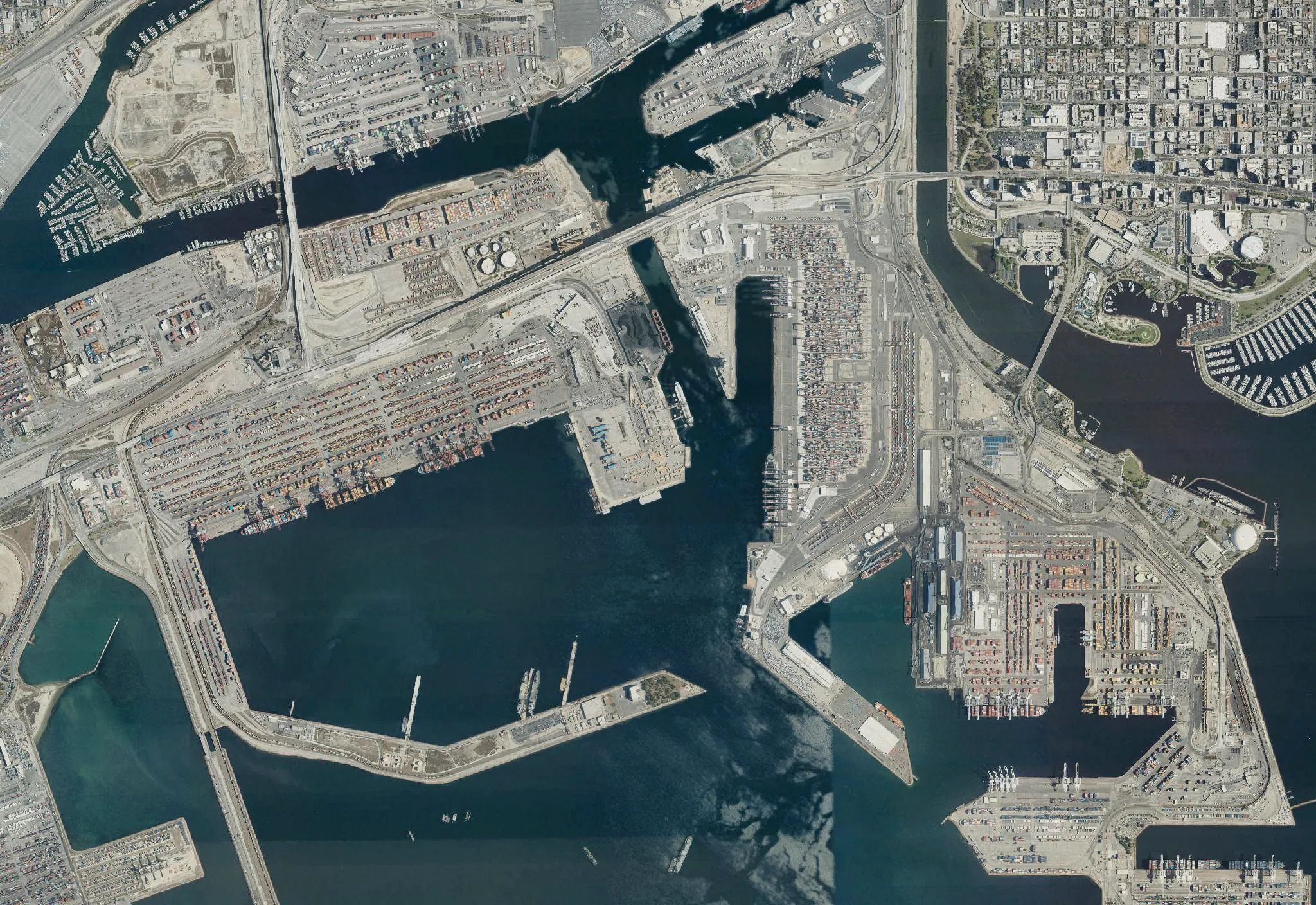
Container terminals, Port of Long Beach, California — where it crosses the sea
33.755° N, 118.220° W · USDA NAIP / USGS The National Map · public domain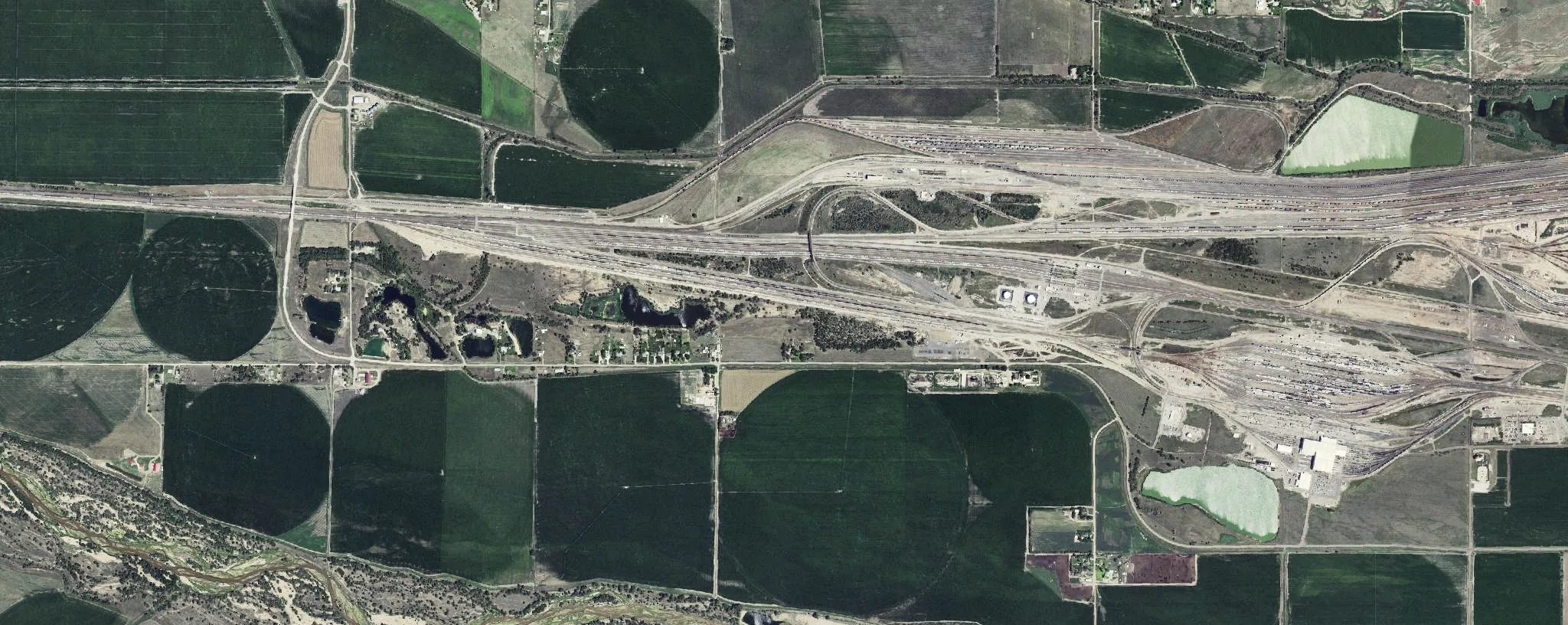
A rail classification yard, North Platte, Nebraska — every car sorted to its route
41.150° N, 100.865° W · USDA NAIP / USGS The National Map · public domain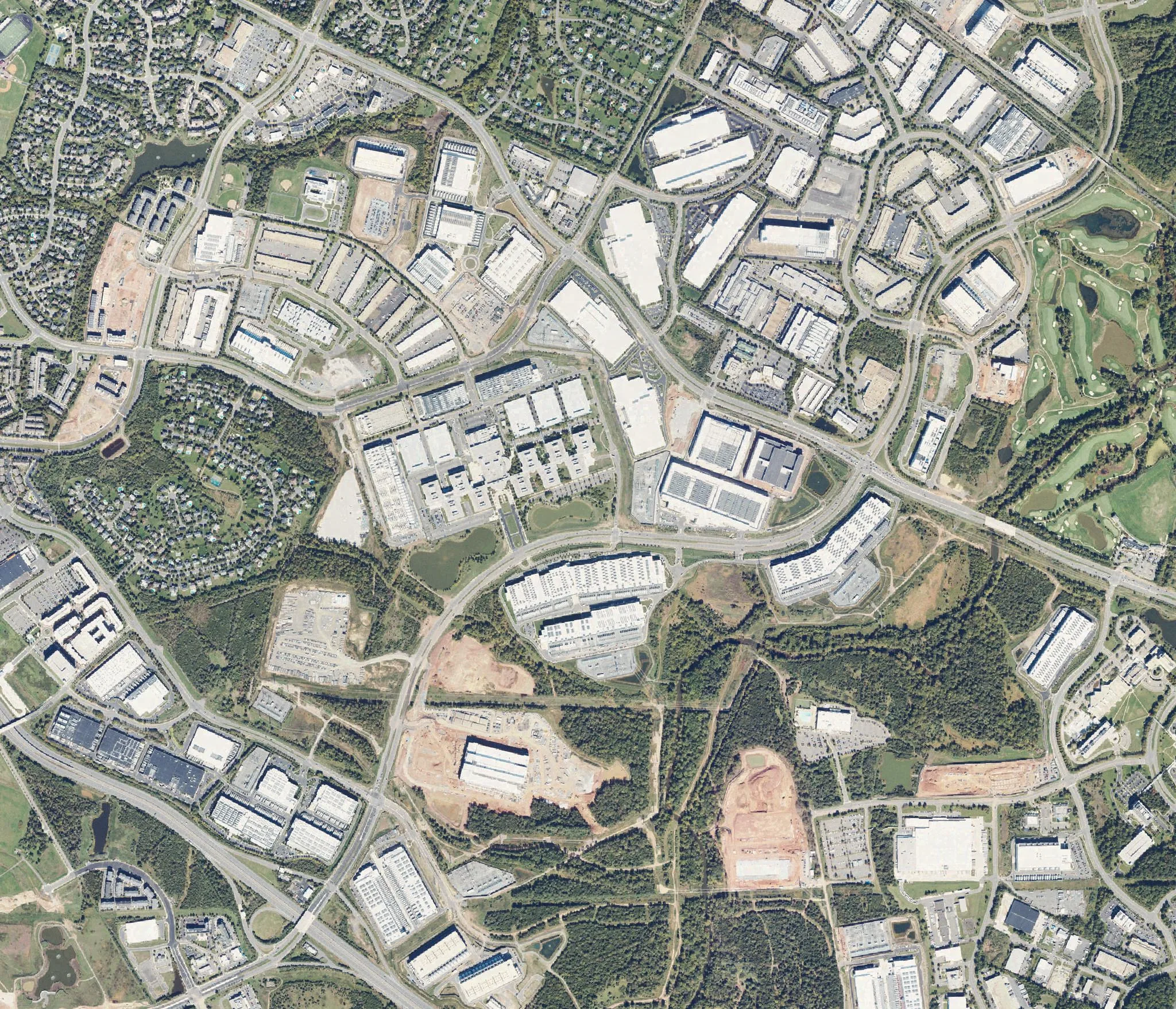
Data center campuses, Ashburn, Virginia
39.010° N, 77.468° W · USDA NAIP / USGS The National Map · public domain


03 — Capabilities
Depth where it counts.
- 01 Flagship practice
Supply Chain Risk Management
Assess vendor, component and ownership risks across federal supply chains.
Container terminals, Port of Long Beach, California — where it crosses the sea · 33.755° N, 118.220° W - 02
Corporate Due Diligence
Investigate company ownership, control and relationships to support business and government decisions.
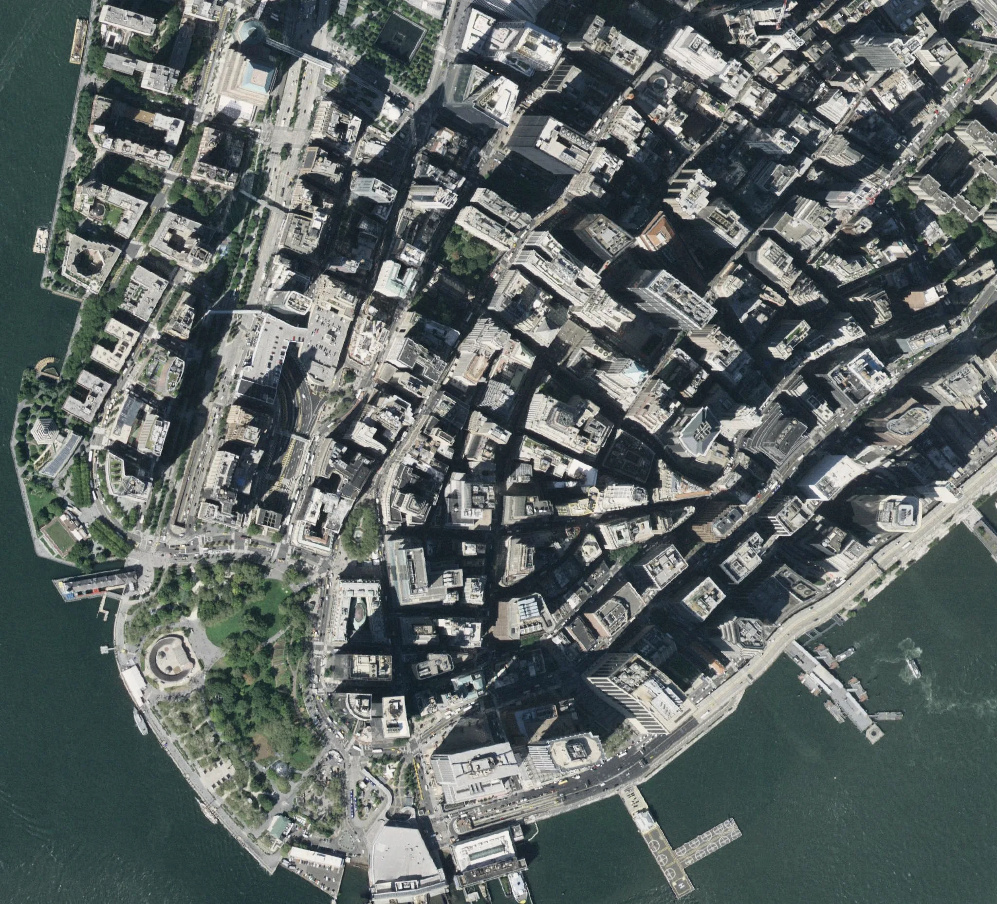
The financial district, Lower Manhattan — where ownership is recorded · 40.706° N, 74.011° W - 03
All-Source Intelligence Analysis
Combine intelligence from multiple sources into assessments that explain the findings, evidence and uncertainty.
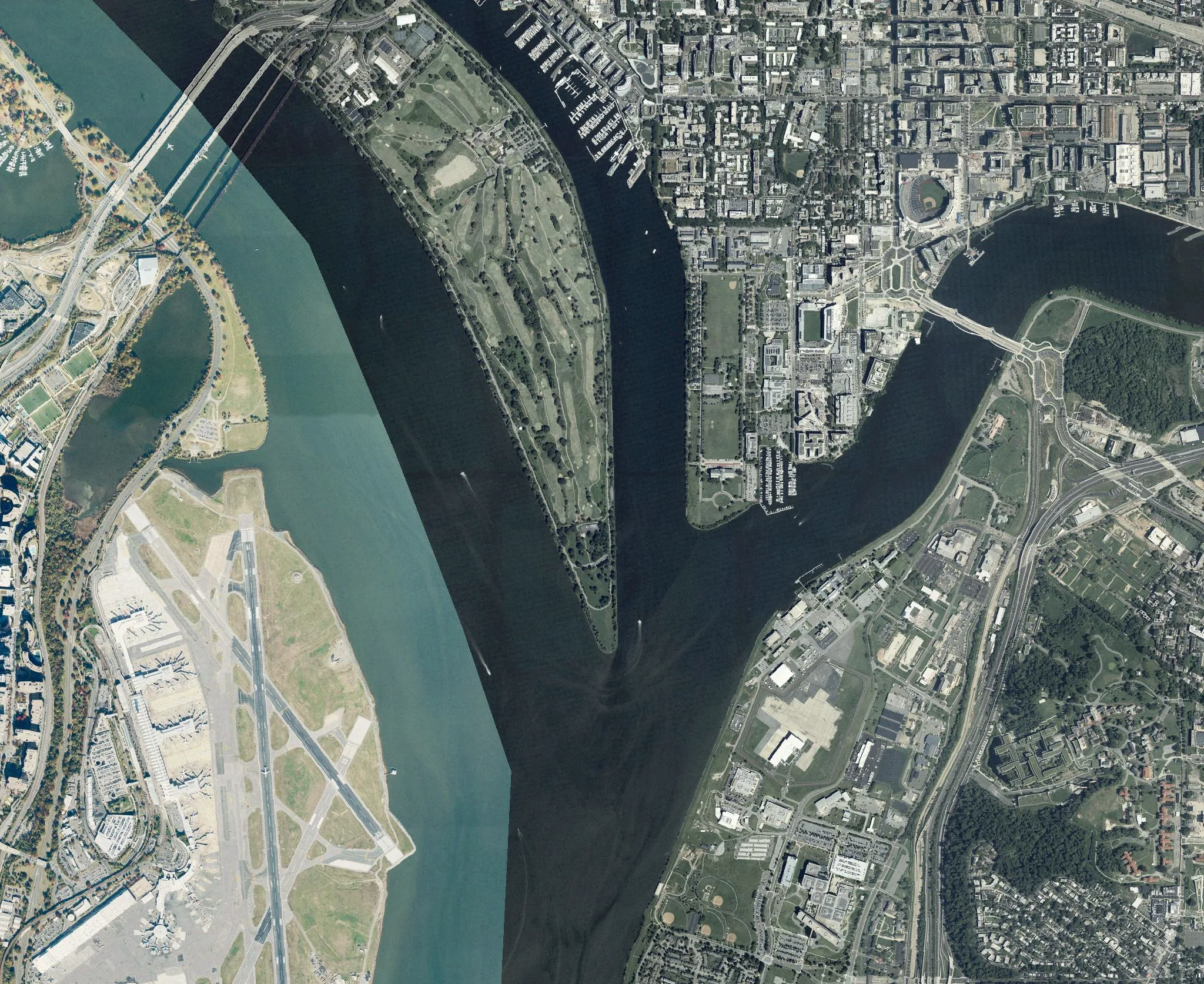
Where the Anacostia meets the Potomac, Washington — many sources, one river · 38.862° N, 77.023° W - 04
Counterintelligence and Insider Threat
Analysis, threat assessment and program support for counterintelligence and insider threat teams.
A rail classification yard, North Platte, Nebraska — every car sorted to its route · 41.150° N, 100.865° W - 05
AI and Data Solutions
AI planning, data integration and analytic support shaped around your team’s needs.
Data center campuses, Ashburn, Virginia · 39.010° N, 77.468° W - 06
Technical and Program Services
IT, project management, system assessment and proposal support for customer programs.
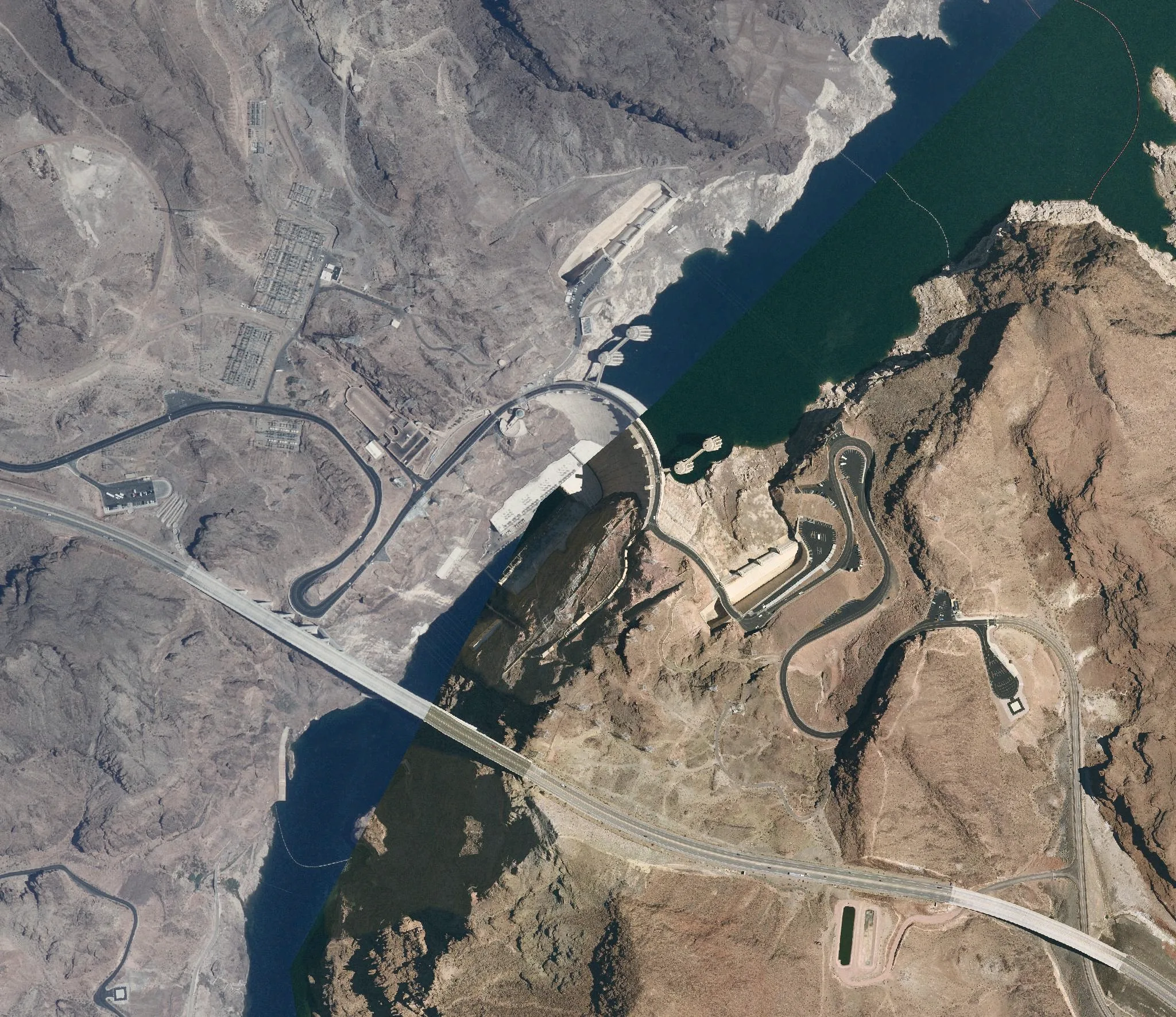
Hoover Dam, on the Colorado River — engineering at program scale · 36.015° N, 114.738° W


The NIST campus, Gaithersburg, Maryland — where measurement standards are kept
39.133° N, 77.218° W · USDA NAIP / USGS The National Map · public domain
04 — Method
Better questions. Stronger perspective.
- 01
Evidence
Start with what is known.
Examine the evidence and the reliability of its sources.
- 02
Context
Follow the connections.
Understand the organizations, systems and relationships behind the question.
- 03
Judgment
Make uncertainty clear.
Explain what the evidence supports and what remains unresolved.
05 — The people behind the perspective
Experience makes the difference.
Our leaders are intelligence analysts who understand the work and support the people doing it.

Old Town Alexandria and the Potomac waterfront, Virginia
38.804° N, 77.047° W · USDA NAIP / USGS The National Map · public domain